

QGIS plugin
Send someone your map, not your QGIS project.
QGIS2WebMap exports a finished QGIS project as one HTML file. The person you send it to double-clicks it and gets your map — panning, zooming, layer switching, popups — with no QGIS, no account and no internet connection.
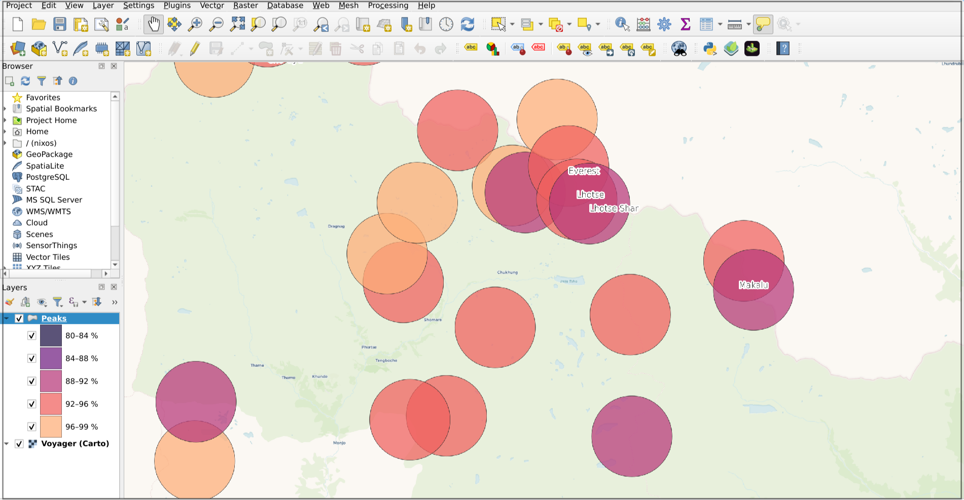 In QGIS
Start here
Three guides, in the order you will need them. Roughly twenty minutes from a fresh install to a map you can email.
Install the plugin
Six clicks inside QGIS — nothing to download by hand. Also covers the one permission the plugin asks for later.
STEP 2Your first export
Compose the map, pick your layers, preview it live, and export. The full path from QGIS canvas to shareable file.
STEP 3Share the map
Which of the three output modes to pick, and why an email filter is usually the thing that decides it.
You always know what changed
Not everything QGIS can draw has an equivalent on the web. Before you export, the plugin checks your whole project and tells you exactly what will be different — on the Fidelity tab, while you can still do something about it. Every item gets one of five plain answers.
- Kept
- It comes out exactly as you set it in QGIS.
- Changed
- It comes out close, but not identical. You are told what changed.
- Rasterised
- It comes out as a picture instead of a live layer, because the web has no equivalent for that style.
- Not exported
- It is left out. The map still works — you just find out here rather than from whoever you sent it to.
- Blocked
- Exporting would produce a broken map, so the Export button stays off until it is fixed.
Reference
What the controls do, what survives the export, and what happens to your data along the way.
The dialog, tab by tab
Every control on the Map, Layers, Appearance, Fidelity and Help tabs, and what each one changes for the recipient.
What gets exported
Layers, symbology, labels, popups, height, terrain and attribution — preserved, approximated or not at all.
Privacy
What is in the exported file, what leaves your machine, and how to check the claim yourself in a browser.
Troubleshooting
The plugin does not appear, the export is greyed out, the map is blank, the file was blocked in transit.
Going further
Putting a map online
Give your map a web address instead of sending a file. What hosting asks of you, and where the free plan's limits start.
Enhance a map with AI
Add filters, charts or your own branding by describing them to a coding assistant. The map stays a single portable file.
OnlyMap documentation
The upstream map library your exported maps run on, documented in full at onlymap.nikaplanet.com.
In short
- Build and style your map in QGIS as usual, and save the project.
- Web → QGIS2WebMap by NIKA → Create web map, the toolbar button, or Ctrl+Alt+W.
- Give the map a name, tick the layers to include, and press Export.
The plugin exports the project as it is, so there is no source to browse for and nothing to configure twice. What you see on the QGIS canvas is what leaves.
If you are weighing this against the other ways of getting a QGIS project into a browser, QGIS to web map surveys them, and QGIS2WebMap or qgis2web is the direct comparison with the established plugin.
What you get
| Mode | What the recipient does | When to use it |
|---|---|---|
| Standalone HTML | Double-clicks one file | The default. Everything is embedded, nothing is fetched |
| Share ZIP | Extracts it, opens index.html |
The data is too large for one practical file, or a mail filter quarantines .html |
| Folder | Serves it, or opens index.html |
You are publishing the map on your own web server |
Compression is lossless. No coordinate precision is discarded to shrink a file unless you ask for it, and where a project genuinely will not fit in one file the plugin recommends the next mode rather than quietly degrading the data.
Requirements
QGIS 3.44 or newer, on Windows or macOS. QGIS 4 is supported.
The first export downloads the OnlyMap runtime — about 5.4 MB, once per computer, after showing you its licence. Everything works offline after that, and exporting itself never touches the network. See installation for the offline and proxy paths.
Getting help
Discuss any problem or suggestion on our Discord, in the QGIS2WebMap help channel, and report bugs there too. You can ask before you are sure it is a bug, and you do not need a GitHub account.
You can also open a GitHub issue or email support@nikaplanet.com. Known failures and their fixes are in troubleshooting.
Built by NIKA, powered by OnlyMap — the map library exported maps run on, documented at onlymap.nikaplanet.com. QGIS2WebMap is not endorsed by QGIS.org.